Can wildlife safely cross Norfolk’s Roads?
By Shelley Harms
Where are animals crossing Norfolk’s roads? Are they making it across? Is it possible to make their
crossings safer?
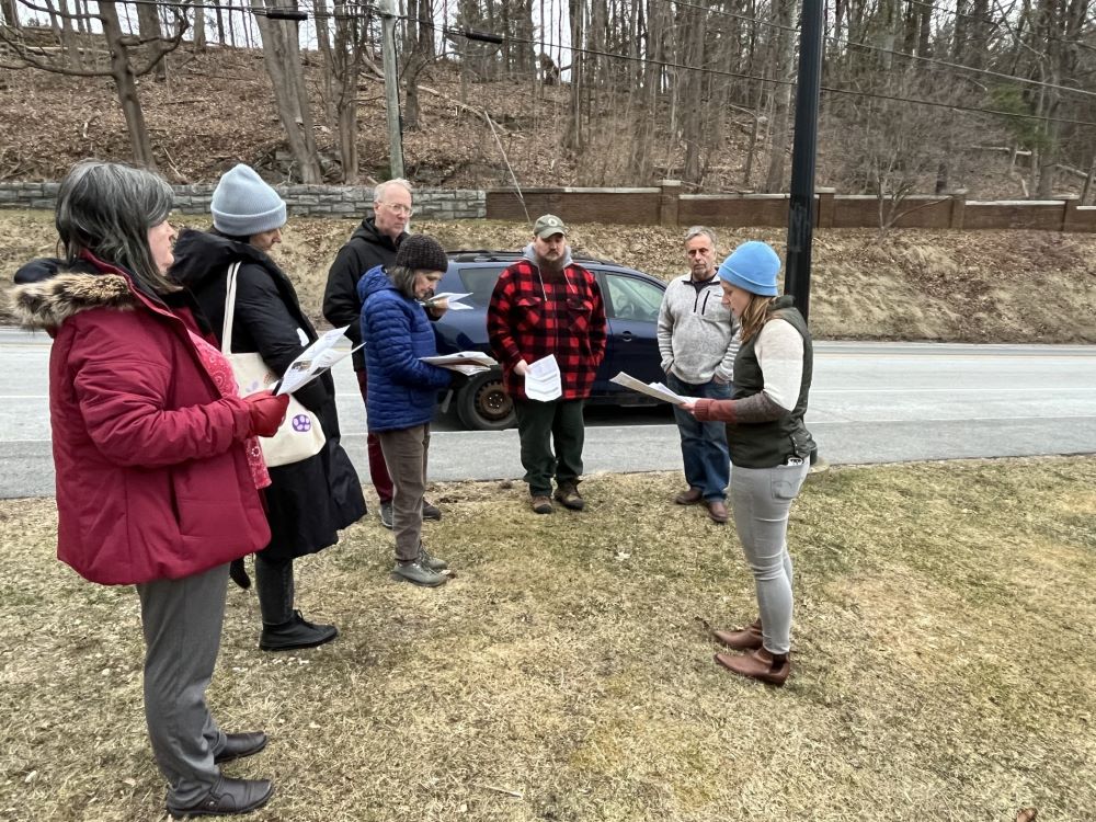
Julia Rogers, Senior Land Protection Manager at the Housatonic Valley Association (HVA), helped a
group of interested Norfolk residents explore these questions at a training session sponsored by the
Norfolk Land Trust on March 22 at the Hub. The group learned how to assess an area of road and report
its location and characteristics to HVA’s Follow the Forest project, which is mapping these linkages.
Many potential linkages are already marked on the map, indicating locations where large blocks of core
forest are bisected by man-made barriers, like roads, which can impede wildlife crossings between
forest safe havens. As more linkages are assessed, the map will be used to help plan ways to make
important crossing areas safer.
Wildlife crossings are also the subject of the recently released book “Crossings” by Ben Goldfarb. The
book describes the relatively new field of road ecology–how roads are shaping species migration,
distribution and even evolution. It explores the cost in human lives and vehicle damage as well as the
staggering number of animals that are killed on roads. Culverts and bridges are also discussed, since
their design can either allow animals and fish to pass safely under a road or completely block their
transit. The book offers a fascinating look at roads and how their negative impacts on fish, amphibians
and wildlife can be lessened.
“Crossings” will be the subject of the Norfolk Library and Norfolk Land Trust’s Books & Boots outing on
April 20 along the Tait Section of the Billings Trail. Hikers should meet at the trailhead on Grantville Road
at 10 a.m. As part of the outing, the group will use the skills learned at the HVA training to assess wildlife
crossings both over and under the road near the trailhead.

Julia Rogers of the Housatonic Valley Association (far right) explains how to assess a wildlife crossing for safety.

