Exploring Norfolk’s History
A Walk Along the Blackberry River Finds Traces of Norfolk’s Industrial Past
Text by Ruth Melville
Photo by Savage Frieze
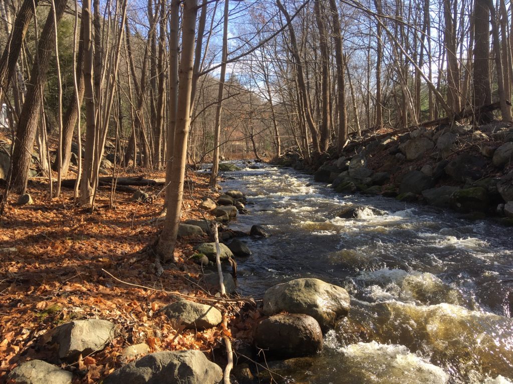
Once you know where to look, the signs of Norfolk’s industrial past are everywhere, and Richard Byrne knows where to look. He has spent decades trolling through historical records at Town Hall—survey maps and deeds—and searching through the woods and undergrowth along the Blackberry River, looking for evidence of vanished dams and abandoned factories. Although much evidence was washed away in the 1955 flood, what remains can be read by the discerning eye: a bit of foundation here, a ridge that was a raceway there.
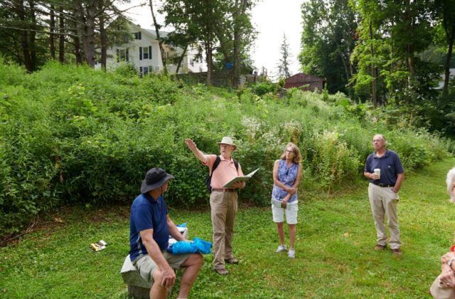
As the town historian, Byrne is happy to share the knowledge he has acquired, and he has put together a two-hour guided walking tour of industrial sites along the Blackberry River. Along the way he recounts the history of the river and points out the traces that he has trained his eye to spot.
Before we set out on an overcast November afternoon, Byrne has us start in the Historical Society Museum, in front of a photograph taken by Marie Kendall, as a way of readjusting our eyes and minds to life in 19th-century Norfolk. As we leave the museum, he stops to point out a stone set into the ground between the Congregational church and Battell Chapel. This stone, he tells us, is a remnant of the Aiken Oil Company, whose site we’ll see later on.
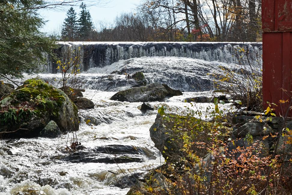
Photo by Wiley Wood
Early Norfolk was not particularly an agricultural area but an industrial one, thanks to the availability of water power and other natural resources like iron ore, limestone and charcoal. The factories and mills that grew up along the Blackberry River included gristmills, sawmills, oil mills, ironworks and forges, textile plants and tanneries. Ironwork was of special importance. Byrne has found traces of three forges along the river. Early settlers needed iron to make tools, and the iron industry was instrumental in the early growth of the town.
Our first stop is at the foot of Buttermilk Falls, at the intersection of Greenwoods Road West and 272. Byrne describes the mills that used to be there, sawing lumber, grinding grain and making flax oil. In 1820, Samuel and Warren Cone bought a site at the Anchor Shop dam at the foot of the falls where they built a tannery.
As we move west along the river, Byrne points out major areas of activity—near the Auclair garage and the Alfa Romeo repair shop, around the NEMB building, at the sewer treatment plant—and tells us the names of the factories that once operated in each. Industry was continuously present here throughout the 19th and early 20th centuries, with companies being started and sold and re-formed.
One of the highlights of the tour is the site of Norfolk Woolen Company, near the Alfa Romeo garage. Byrne shows us photographs of the large factory building, four stories high, that was built in 1850. It was first owned by the Norfolk Woolen Company and then the Aetna Silk Company, which was in operation from 1878 into the 1900s. The factory employed a large number of workers, especially women, judging by a photograph of the interior. A large boarding house was built on Aetna Lane to house the mill workers.
Although the flood washed away most traces of this factory, and Byrne says the river channel may have changed as well, some stonework and the tailrace are still visible. He adds that you can still find mulberry bushes in town that were originally planted to feed the silkworms needed to make silk thread.
Moving west, we explore the area around the Norfolk sewer plant, once known as Patmos Island. Looking at the map, and thinking back over what we’ve seen, we count off seven dams along the river, with one more to come. We walk the ridgeline of an old raceway, and Byrne shows us a bit of foundation in the undergrowth. Although he’s not positive what building was here, he thinks it might be the Aiken Oil Company, the source of the stone that stands near the Congregational Church.
East of the sewer building, we stop at the site of the dam for the Long Stone Shop. Again, a ridge shows where the old raceway was, and we see some remnants of stonework and the mark of the pit for the wheel. The shop was noted for its 40-foot diameter overshot waterwheel, said to be the second largest in the country at the time. The original building, built by the Lawrence Machine Company in 1854, was 230 feet long by 40 feet wide. This machine shop and foundry made a full range of tools out of wood and iron.
The Long Stone building eventually became the Connecticut Arms Company, which made Springfield muskets for the Civil War (the contracts are housed at the Historical Society). In 1901, the Southern New England Electric Company took over the building and replaced the old waterwheel with a modern water turbine.
Byrne has a final treat in store for us. Under the water of the river, barely visible, is a wooden beam, a remnant of a bridge that once provided access to Patmos Island. Byrne knew from surveys and land records the approximate spot where a bridge had been, and he kept searching until he found a piece of it.
Richard Byrne also does other local historical tours, including to Benedict Saw Mill, Meekertown and south Norfolk. If you accompany him on one of his walks, I guarantee that when you next hike through the woods or drive down Route 44, your mind’s eye will see the land differently.